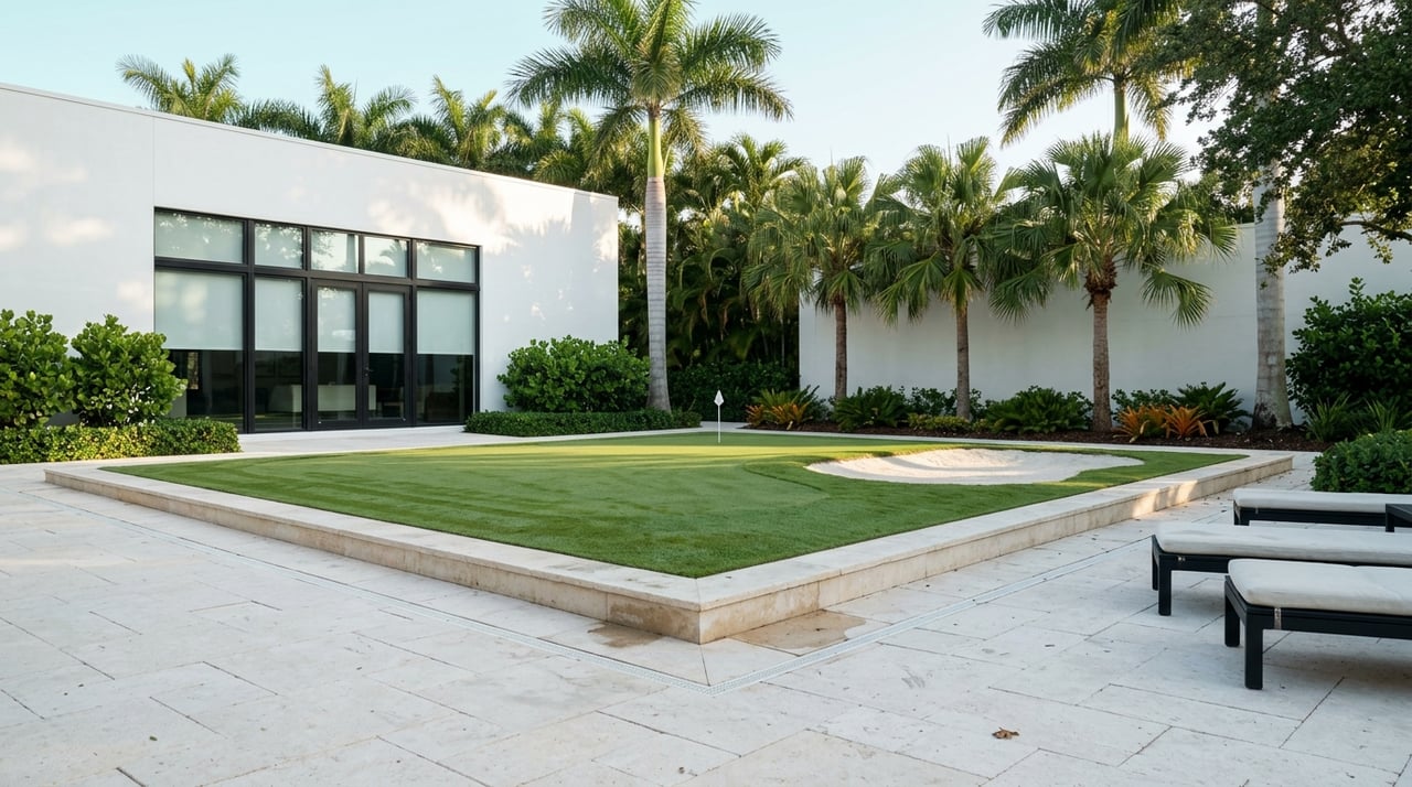
Shopping Sanibel waterfront and wondering what “Gulf access” really means for your boat and lifestyle? You are not alone. The phrase covers several very different situations, from instant open‑water access to shallow canals with tidal limits. In this guide, you’ll learn how each access type works around Sanibel and Lee County, what local bridge and depth factors matter, the trade‑offs to weigh, and a simple checklist to compare properties. Let’s dive in.
Gulf access types explained
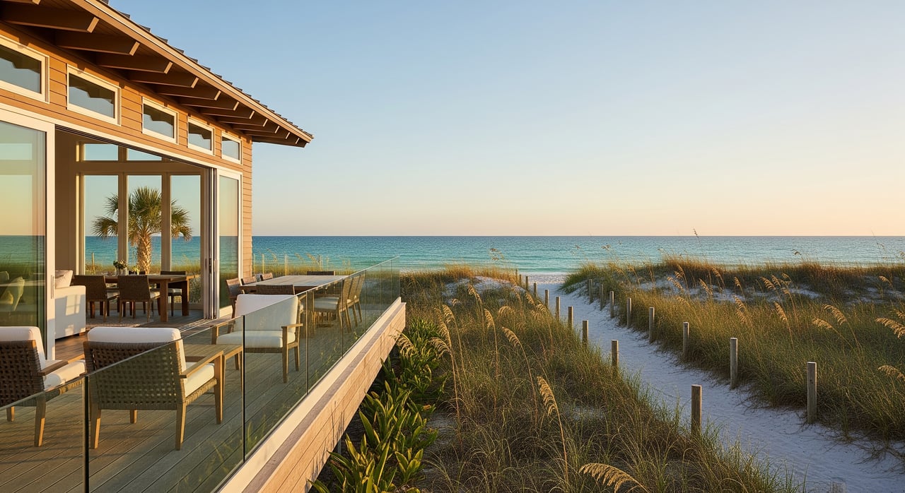
Direct Gulf‑front
What it is: The property faces the Gulf of Mexico with no bay or canal between you and open water.
Why it matters: You get immediate access to the Gulf without navigating canals or narrow channels. The flip side is greater exposure to surf, wind, and storm surge, so docks and seawalls are designed and maintained differently than canal docks.
Good fit for: Larger powerboats and center consoles designed for offshore conditions. Sailboats can work if mooring and dockage fit the rig.
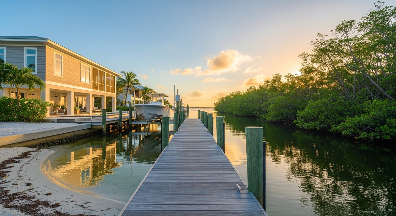
Bay or Sound access
What it is: The property fronts San Carlos Bay or Pine Island Sound, often just a short run to the Gulf.
Why it matters: Waters are generally more protected than the open Gulf and can be shallower, with conditions that change by tide and location. Access to the Gulf is often faster than taking a long Intracoastal route.
Good fit for: Flats and bay boats, center consoles, and many powerboats. Larger vessels depend on depth and draft at the property and along the route.
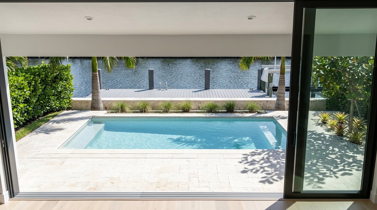
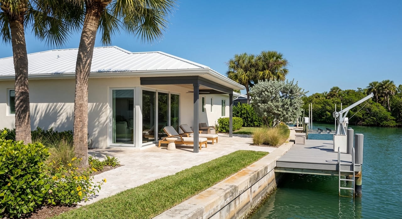
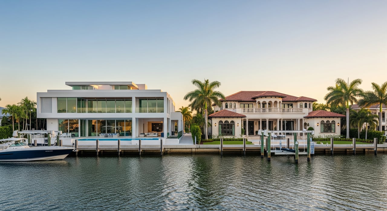
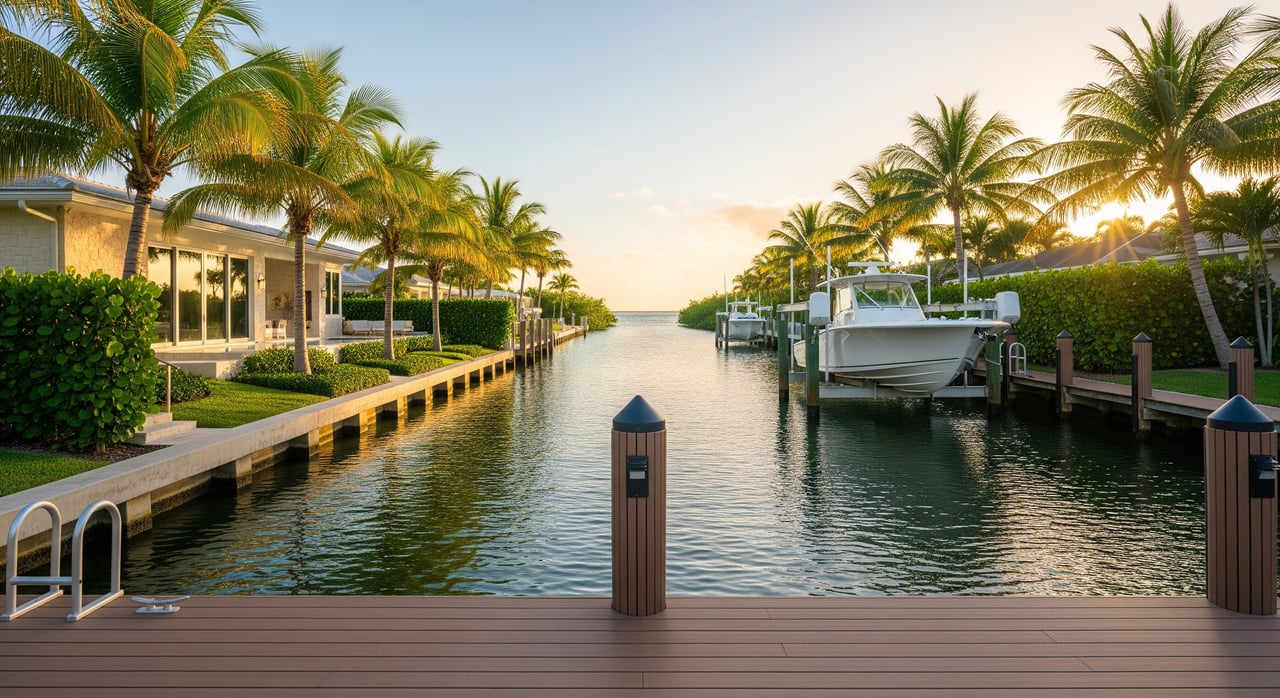
Canal access
What it is: A home on a residential canal that connects to a bay, the Intracoastal Waterway, or a Gulf pass.
Why it matters: Canal depth, width, and length vary by neighborhood and maintenance history. Some canals run quickly to open water, while others add time and may have shallow points at low tide.
Good fit for: Small to medium powerboats, bay boats, flats boats, and tenders. Draft limits often restrict larger yachts and deeper‑draft vessels.
ICW or ICW‑adjacent
What it is: Property with direct or quick access to the Intracoastal Waterway that parallels Florida’s coast.
Why it matters: Great for longer coastal cruising in protected water, but you must account for fixed bridges, drawbridge schedules, and marked channel navigation.
Good fit for: Boats that fit local channel depths and bridge clearances. Many larger coastal cruisers prefer the ICW.
Restricted or limited boat access
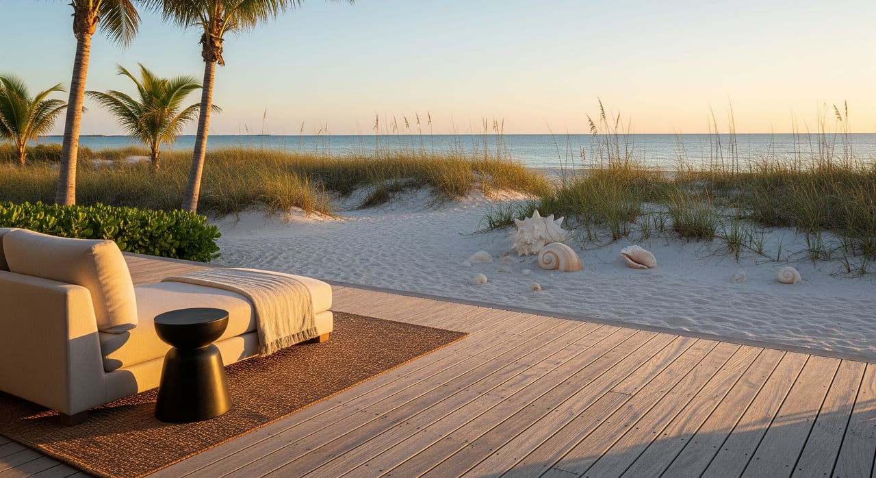
What it is: “Waterfront” properties with mangroves, wetlands, or no maintained dock or navigable channel.
Why it matters: Fine for kayaks and paddleboards if there is a put‑in, but not practical for larger boats without significant permitting and potential dredging.
Good fit for: Paddlecraft, small skiffs, or buyers prioritizing views and nature over motor‑boat use.
What shapes real access here
Local waterways to know
- Gulf of Mexico to the west.
- San Carlos Bay and the Punta Rassa area to the south and southwest.
- Pine Island Sound to the northwest of Sanibel and Captiva.
- The Intracoastal Waterway near the mainland side.
- Sanibel’s residential canals and tidal passes, including the Captiva and Blind Pass areas.
Depth, channels, and dredging
- Residential canal depths vary by neighborhood and can shoal over time. Do not assume uniform depth.
- Public navigation channels are marked and maintained through federal or local projects. Private canals are typically not federally maintained unless specifically adopted.
- Always verify actual depth at or near low tide along your intended route and at the dock.
Tides and water levels
- The area’s modest tidal range can materially reduce usable depth at low tide in shallow canals and around docks.
- Plan transits with a safety margin if your boat has deeper draft.
Bridges and clearances
- Many routes include fixed bridges or drawbridges. Two dimensions matter: vertical clearance for mast and flybridge height, and horizontal clearance for beam and turning.
- Check official bridge clearance numbers and any drawbridge opening rules for your preferred route before you buy.
Weather and exposure
- Direct Gulf frontage experiences more wave action and wind, which affects dock design, mooring, and small‑boat safety.
- Bays and canals are more protected but can be shallower and more influenced by seagrass and shoaling.
Key trade‑offs to weigh
Immediate access vs. protection
- Direct Gulf gives you the fastest run to open water, with higher exposure and potential insurance and maintenance considerations.
- Canal or bay locations offer calmer water and often lower maintenance, but add transit time and possible depth limits.
Draft vs. vessel size
- Many Sanibel canals and bay flats favor shallow‑draft boats such as flats boats, bay boats, and smaller center consoles.
- Deep‑draft boats and many sailboats can be limited by canal depth or bridge air‑draft. Some owners opt for marina slips or moorings in deeper channels.
Time to open water
- Direct Gulf‑front is immediate.
- Bay access can be just minutes, depending on the channel route and location.
- Canal or ICW routes can take from a few minutes to 30 minutes or more, depending on canal length, speed limits, and bridge timing.
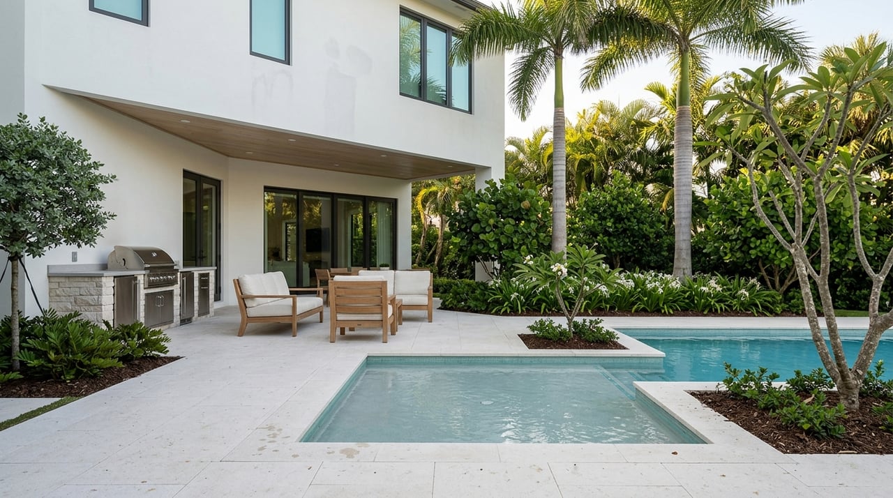
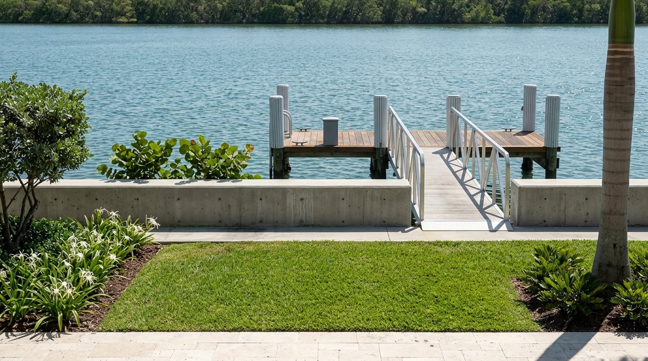
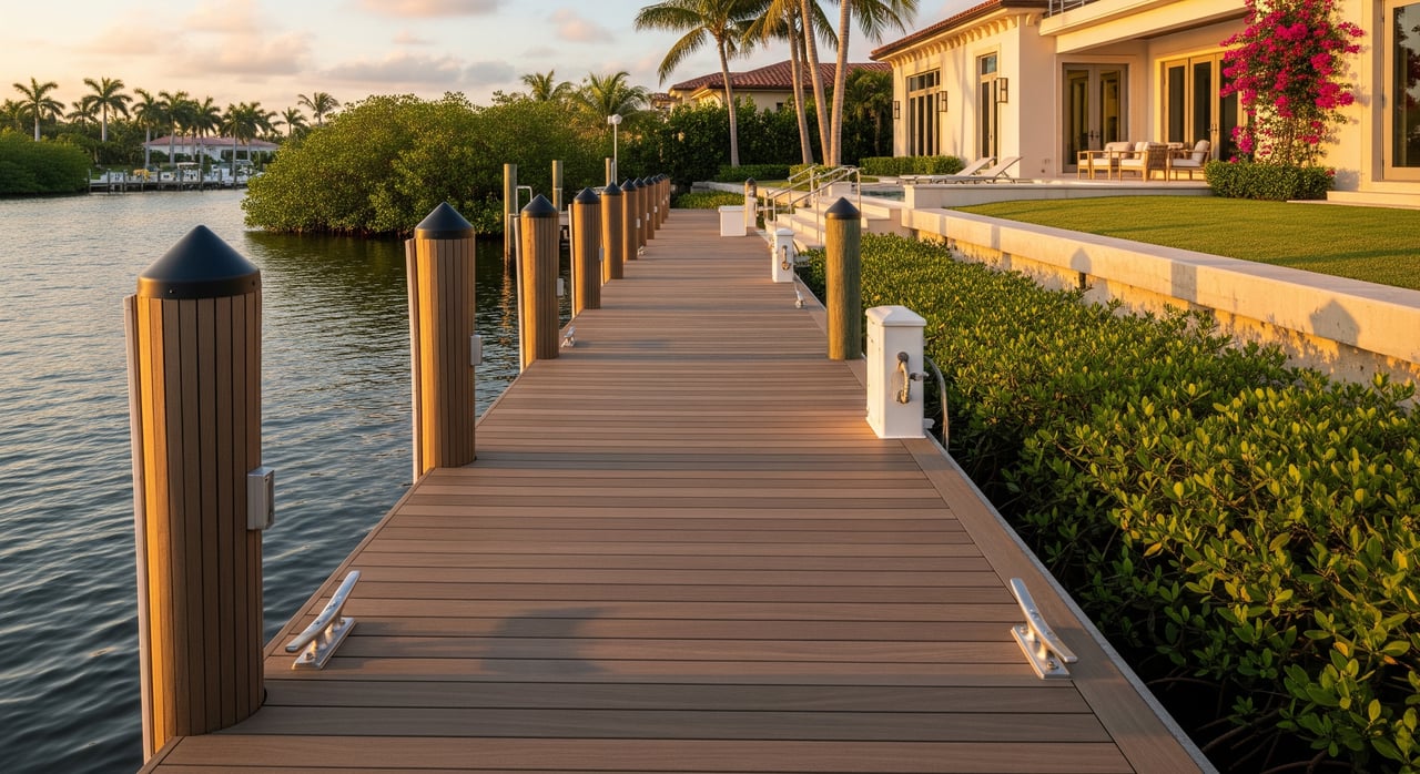
Dock types and upkeep
- Seawall with fixed dock is common on seawall lots; check condition and permitting.
- Piling docks with a lift help with storage and hull care; verify pile depth and lift capacity for your boat.
- If private dockage is not feasible, consider marina slips or mooring fields. Factor costs for permits, potential dredging, dock repair, and insurance.
Permitting and environmental considerations
- Sanibel, Lee County, and state and federal agencies regulate docks, seawalls, dredging, and shoreline work.
- Seagrass, mangroves, and wetlands carry protections that can limit dredging or dock expansion and may require mitigation.
- Hurricane‑related repairs and rebuilding are subject to local codes and can affect cost and timing.
Buyer due diligence checklist
Use this quick list to evaluate any Sanibel or Lee County waterfront listing:
- Verify depth at the dock and along the route at mean low water. Ask for recent soundings and any dredging history.
- Confirm tidal influence using official tide predictions for the nearest station and plan with a safety margin.
- Map your route and check bridge clearances and any drawbridge schedules. Confirm both vertical and horizontal clearances.
- Confirm that the dock, lift, and any slip are permitted and included in the sale. Request permits, as‑builts, and compliance records.
- Review FEMA flood zone and elevation info for the parcel and obtain insurance quotes that reflect your intended storage method.
- Check for seagrass, mangroves, and wetlands on or near the property that may limit work.
- Confirm city and county rules for private docks, setbacks, and maintenance responsibilities.
- Ask about canal or channel maintenance: who pays and when it was last dredged.
- Identify nearby marinas or private slips, plus availability and costs, if your boat will not fit at the property.
- Engage a marine surveyor and a local broker experienced with Sanibel waterways early in your process.
Match your boat to the access
- Shallow‑draft flats or bay boats: Often ideal for canals and the shallow zones of Pine Island Sound, with attention to low‑tide depths.
- Mid‑size center consoles and powerboats: Well suited to bay or sound access and many canals with adequate depth.
- Larger cruisers and yachts: Consider bay or ICW‑adjacent properties with documented depth and clearance, or plan for a marina slip.
- Sailboats: Focus on deeper channels and routes with sufficient vertical clearance. Confirm mast height against official bridge data.
How long to the Gulf?
“Time to the Gulf” depends on where you start, the route you choose, speed limits, and conditions. Direct Gulf‑front means seconds to minutes. Bay or sound properties are often a short run, depending on channel routing. Canal and ICW routes vary widely, and may involve bridge timing and slower zones. Verify with a sea trial at or near low tide when possible.
Work with a boat‑minded advisor
Choosing between direct Gulf, bay, canal, or ICW access is about matching your vessel, how you plan to use it, and your tolerance for maintenance and exposure. You want clear answers on depth, bridge clearances, permits, insurance, and realistic time to open water. A disciplined, design‑minded advisor can help you weigh lifestyle and investment logic side by side.
If you are evaluating Sanibel or Captiva waterfront, let a trusted local guide you through the details, from due diligence to private listings and strategic negotiation. Reach out to Jodi Hanson to compare options and get curated opportunities before they hit the market.
FAQs
How deep are Sanibel’s residential canals?
- Depths vary by neighborhood and change with tides and shoaling; always verify with recent soundings or a hydrographic survey at or near low tide for any property you are considering.
Can a 3 to 4 foot draft boat use a Sanibel canal dock?
- Possibly, but it depends on measured depth at low tide along the route and at the dock; confirm depths and include a safety margin for tide and seasonal variation.
Will a sailboat mast clear bridges en route to the Gulf?
- It depends on your air draft and the official vertical clearances of bridges on your planned route; check published clearance tables and any drawbridge operations.
How long does it take to reach the Gulf from a canal home?
- It can range from a few minutes to 30 minutes or more based on canal length, speed limits, channel routing, and bridge timing; verify by running the route in similar tide conditions.
Are private residential canals regularly dredged in Lee County?
- Typically not by federal authorities; maintenance is often the responsibility of owners, associations, or local governments, so confirm the history and who pays going forward.
What permits are needed to build or modify a dock?
- Expect a mix of local, state, and possibly federal permits, especially if seagrass, mangroves, wetlands, or navigable waters are involved; request existing permits and consult the relevant agencies early.